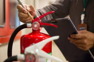
The Fire Kills campaign (UK) aims to reduce deaths and injuries from home fires by promoting prevention, early detection, and escape plans. The focus is on increasing the number and proper placement of smoke detectors (including interconnected ones) and improving safe behaviors at home. It offers practical advice on common risks and what to do in the event of a fire. It focuses on vulnerable groups (elderly, disabled, and hearing-impaired) and provides information on possible local home fire safety visits.
Technologies
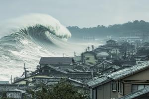
The Regional Tsunami Project is a regional initiative launched in 2017 by UNDP with funding from the Government of Japan to strengthen tsunami preparedness in schools and communities across the Asia-Pacific. The project works with governments and school systems to institutionalize risk education and evacuation drills, improve evacuation planning and routes, and make the drills regular and replicable.
Case
ARC’s CBDP toolkit helps communities turn data on risks, vulnerabilities, and capacities into a practical disaster preparedness and response plan. It was developed in Afghanistan, where poverty, weak infrastructure, and environmental degradation increase the impact of floods, droughts, landslides, and other hazards. The approach is participatory (focus groups, observation, feedback) and involves local structures such as the CDMC/CDC, with actions phased into emergency, short, medium, and long-term. It also integrates environmental aspects and climate projections.
Solution
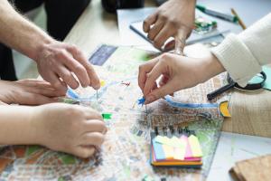
The Territori Aperti Disaster Preparedness Toolkit is a dynamic tool that gathers existing experiences and transforms them into useful recommendations and procedures for public bodies and citizens.
Solution
Risk Runner is an interactive video game designed for children aged 9 to 12, which transforms learning about safety into a dynamic and fun experience. Through realistic scenarios – such as floods, forest fires, earthquakes, and environmental crisis – players face challenges and mini-quizzes that teach them how to behave correctly in an emergency. The game combines racing and gamification elements with educational content, promoting awareness, prevention and resilience.
Solution
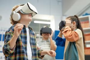
Feel Safe VR Experience is an immersive educational project by Save the Children Italia that uses virtual reality to teach children and adolescents how to respond safely to emergencies. Through interactive simulations of earthquakes, floods, and wildfires, participants develop practical safety skills, resilience, and awareness. The project emphasizes participation, inclusivity, and engagement to foster responsible young citizens.
Solution
Safecast designs and deploys open hardware and software tools that enable citizens and experts to collect, share and access high-quality environmental data. Originating from a post-disaster information gap, Safecast promotes transparency, public trust and evidence-based decision-making through open data and community-driven monitoring.
Contribution
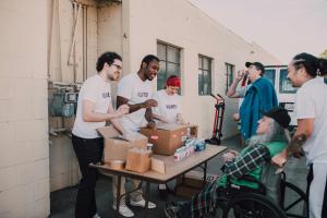
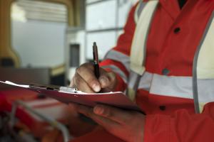
ROHCMUM is a formalised coalition (incorporated since 2007) that convenes community and humanitarian organisations, municipal civil security, and Québec public-safety actors.
It focuses on preparedness and operational coordination for “major disasters,” improving how organisations mobilise, communicate, and deliver support to affected populations.
Its core offer includes structured workshops (initiation, emergency measures plan, business continuity, mobilisation/coordination) facilitated by specialists.
Case
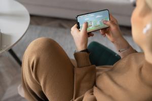
Safety tips combines a traveler-focused safety website and a push-alert smartphone app to help people in Japan react quickly during hazards.
It provides multilingual alerts (e.g., earthquake/tsunami/weather) and practical guidance such as evacuation flowcharts and helpful phrases for communicating locally.
The emergency section organizes procedures to follow for multiple scenarios (earthquake, tsunami warnings, evacuation information, volcanic warnings, heat stroke alerts).
Solution
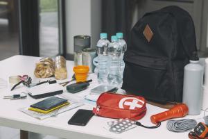
Get Ready (NEMA - New Zealand) is a national preparedness platform that offers practical instructions for preparing for and responding to multi-risk emergencies (before, during, and after).
The site addresses the problem of low self-sufficiency in a crisis, promoting family/community plans, kits, and supplies (e.g., water and grab bags). It includes specific guidance for vulnerable groups (disabilities, the elderly, children) and pets, with accessible and multilingual resources.
Case