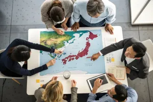
After the 1995 Kobe earthquake, residents of North Rokko used the participatory Machizukuri model to create alternative reconstruction plans, forming neighbourhood associations that strengthened community resilience and civic engagement.
Government Agencies
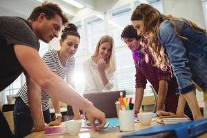
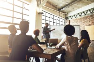
Structured collaboration among stakeholders to enhance community resilience
Case
A global student-led programme that helps schools embed sustainability and environmental action into their curricula, campus, and communities through a structured Seven Step methodology.
Case
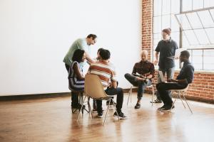
Life Skills is a series of low-threshold workshops by the Netherlands Red Cross supporting migrants, asylum seekers, and undocumented people by providing them with practical skills, boosting their self-reliance, and creating a safe and open space to discuss challenges and concerns with peers.
Case
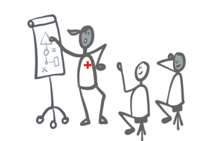
The 'Emergency Awareness' Workshops aims to strengthen people and community preparedness in crises and emergencies. The workshops are designed to align preparedness activities with crises that have a high likelihood and high societal impact: hazardous materials incidents, flooding, extreme weather, blackouts, epidemics and wildfires. The workshops use an interactive, small group serious game to introduce concrete preparedness actions. Participants jointly prepare a fictional persona for an upcoming crisis and later reflect on what these actions mean for their own situation.
Case
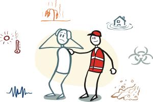
The 'Emergency Awareness' Workshops aims to strengthen people and community preparedness in crises and emergencies. The workshops are designed to align preparedness activities with crises that have a high likelihood and high societal impact: hazardous materials incidents, flooding, extreme weather, blackouts, epidemics and wildfires. The workshops use an interactive, small group serious game to introduce concrete preparedness actions. Participants jointly prepare a fictional persona for an upcoming crisis and later reflect on what these actions mean for their own situation.
Contribution
Life Skills is a series of low-threshold workshops by the Netherlands Red Cross supporting migrants, asylum seekers, and undocumented people by providing them with practical skills, boosting their self-reliance, and creating a safe and open space to discuss challenges and concerns with peers.
Contribution
A global student-led programme that helps schools embed sustainability and environmental action into their curricula, campus, and communities through a structured Seven Step methodology.
Contribution
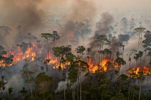
A post-wildfire recovery initiative that mobilized conservation corps youth as a trained, paid workforce to support environmental and community recovery in fire-affected areas of Los Angeles County.
Case
Providing Red Cross/Red Crescent practitioners with a complete project cycle framework and 59 adaptable tools for implementing community and school-based disaster risk education in Small Island Developing States.
Solution